
our services
Our Professional Drone Services in Lagos
Professional Drone Services Tailored for Your Needs
At Kingsdrone Technologies, we offer a comprehensive range of expert drone solutions designed to capture precise aerial data and stunning visuals. Whether you need detailed land surveys, high-quality aerial footage, or accurate 3D mapping, our experienced team uses cutting-edge technology to deliver exceptional results for real estate, construction, events, and more.
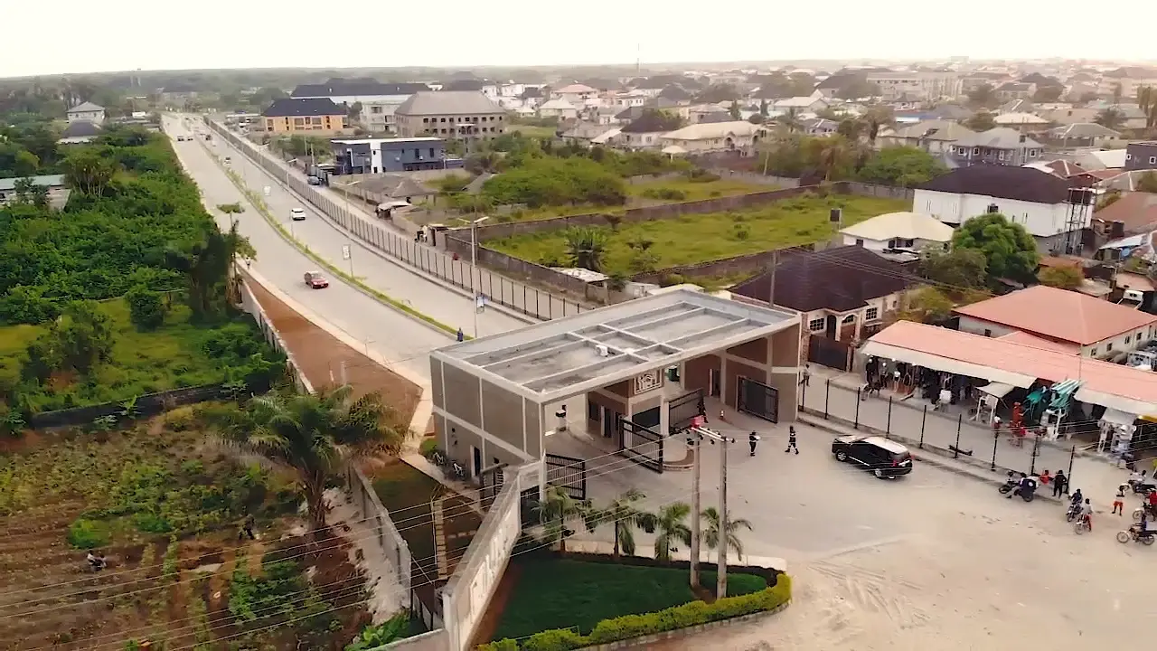
Aerial Drone Footage
Capture stunning, high-quality aerial footage that showcases real estate, events, and promotional projects like never before. Our cinematic drone videos deliver crisp detail and dynamic perspectives to bring your vision vividly to life.

Land Survey & Mapping
We deliver precise land survey data using advanced drone technology, ideal for mapping, site planning, and property development. Experience faster, cost-effective, and highly accurate insights to support your projects with confidence.
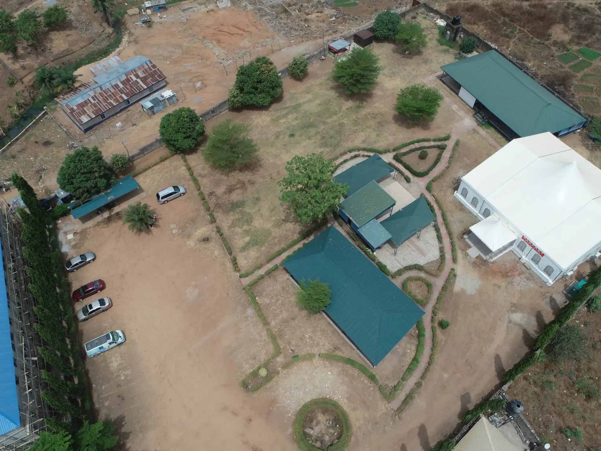
Precision Mapping & 3D Orthomosaic Models
Our drones create detailed 3D orthomosaic maps, providing accurate, high-resolution visuals for construction, agriculture, and environmental monitoring. Unlock new levels of precision for your projects with our cutting-edge mapping solutions.
Our Badge of Honour
Since 2020, Kingsdrone Technology has proudly delivered expert drone services across multiple industries. With over 5 years of hands-on experience, our badge of honour reflects our dedication to precision, professionalism, and customer satisfaction.
From aerial footage to mapping and land surveys, we continue to set the standard for quality and reliability in drone technology.